
Charlotte, North Carolina
51,113 street segments, 3,626.36 miles in all.
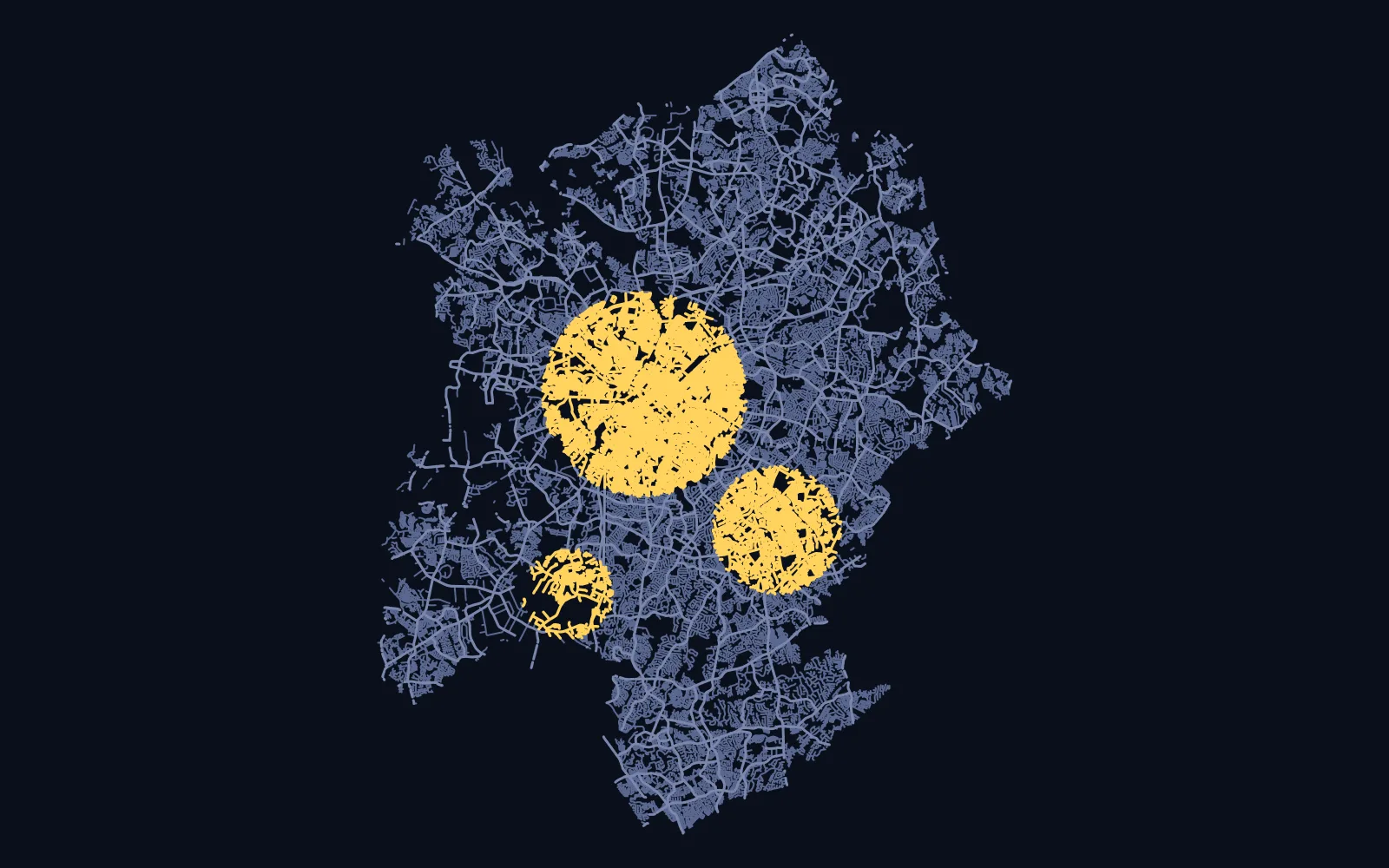
The map splits Charlotte into 105 neighborhoods. Pick one as your goal on the map and track it on its own.
The street list leaves out driveways and parking aisles. Every segment runs from one intersection to the next.
Start this townBrowse the full street map today. See all towns